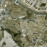
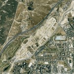
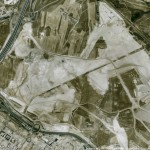
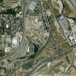
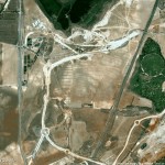
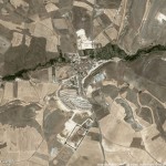
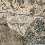
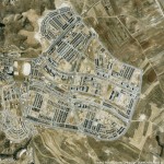
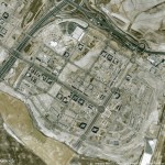
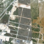
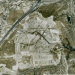
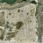
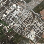
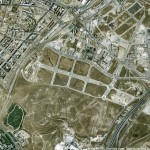
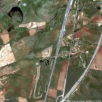
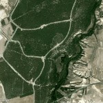
Josh Begley developed a script that outputs a list of googlemaps images given a list of locations (longitud and latitude needed). It runs in Processing and uses the Google Maps API. It was originally used to get aerial images of all the prisons in the USA. I thought it could be interesting to get googlemaps images from all the urban developments that were built and unfinished during the real estate bubble in Spain. I’ve opened a spreadsheet http://bit.ly/listapaus with a few of them to test the script.
This is a side project to the 6.000km map, a kind of wiki to collect info about urban metabolism in the era of the real estate bubble in Spain. Soon, we will have updated photos of some of these places, that we just took in Madrid with balloon mapping techniques.
- Ahijones
- Arroyo del Fresno
- Berrocales
- Butarque
- Reino de Don Quijote
- La Encina (Bernuy de Porreros)
- Majadahonda
- Miramadrid. Paracuellos
- PAU Vallecas
- Polígono industrial Aeropuerto Ciudad Real
- Rivas
- Valdebebas
- Valdeluz
- Viválvaro
- Villa Mayor de Calatrava
- Villanueva de Gomez. Avila
